- Grade: C
- Length: 11km
- Duration: 4 hours
- Height gain: 500m
- Extension Option@ n/a
Start Point: Baile an Chótaigh OS Map 70
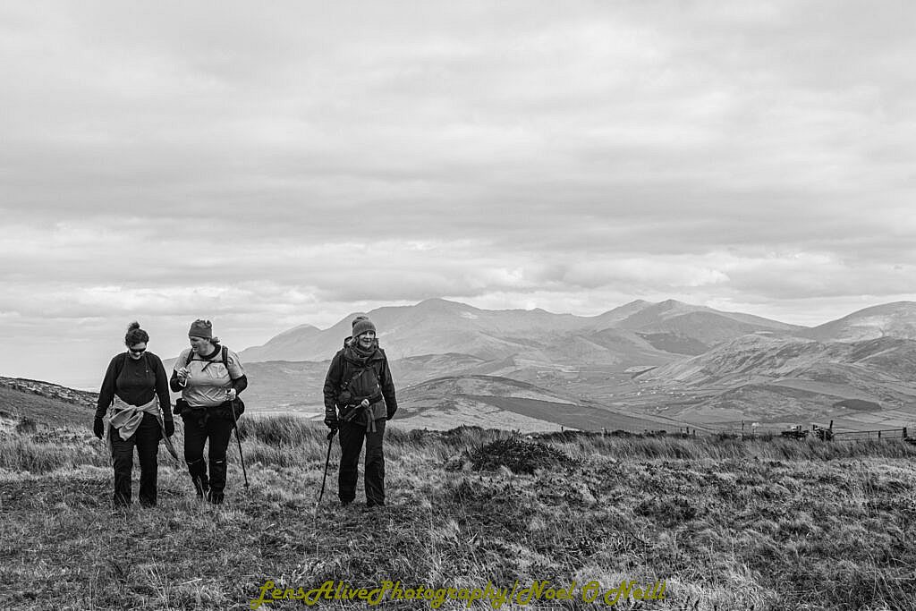
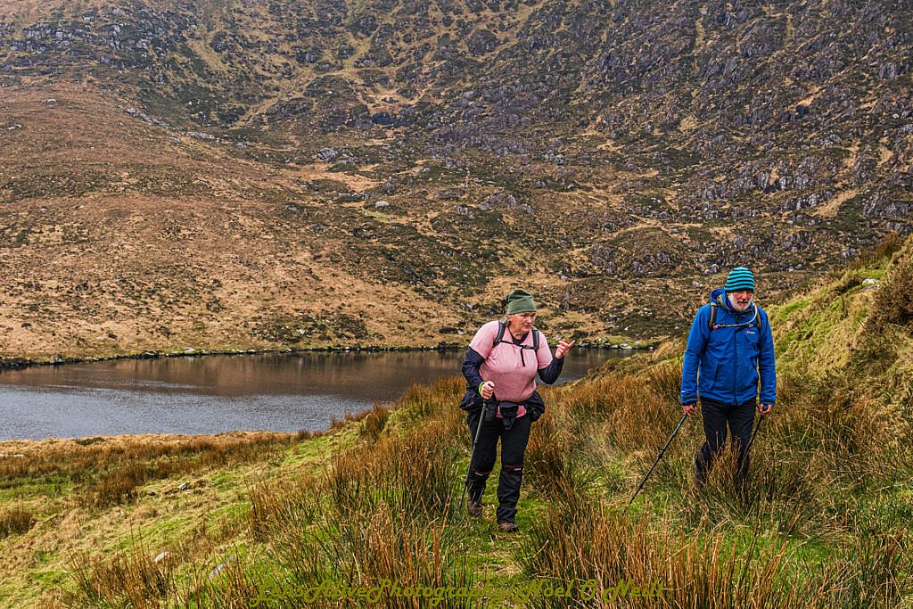
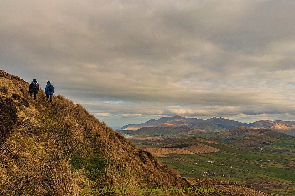
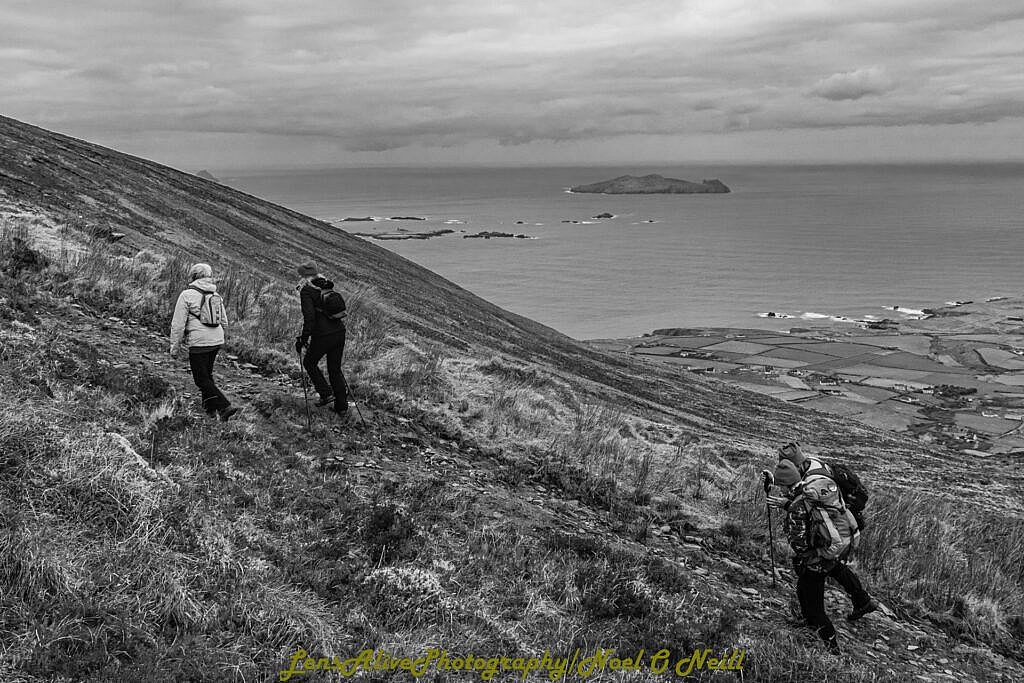
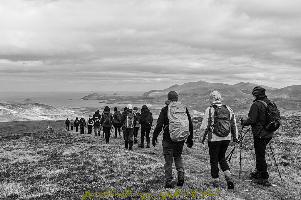
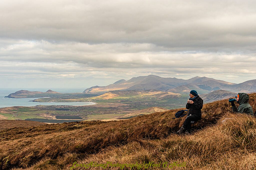
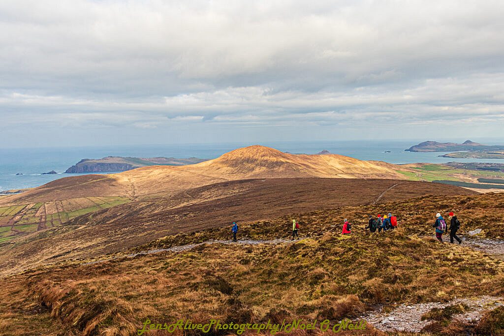
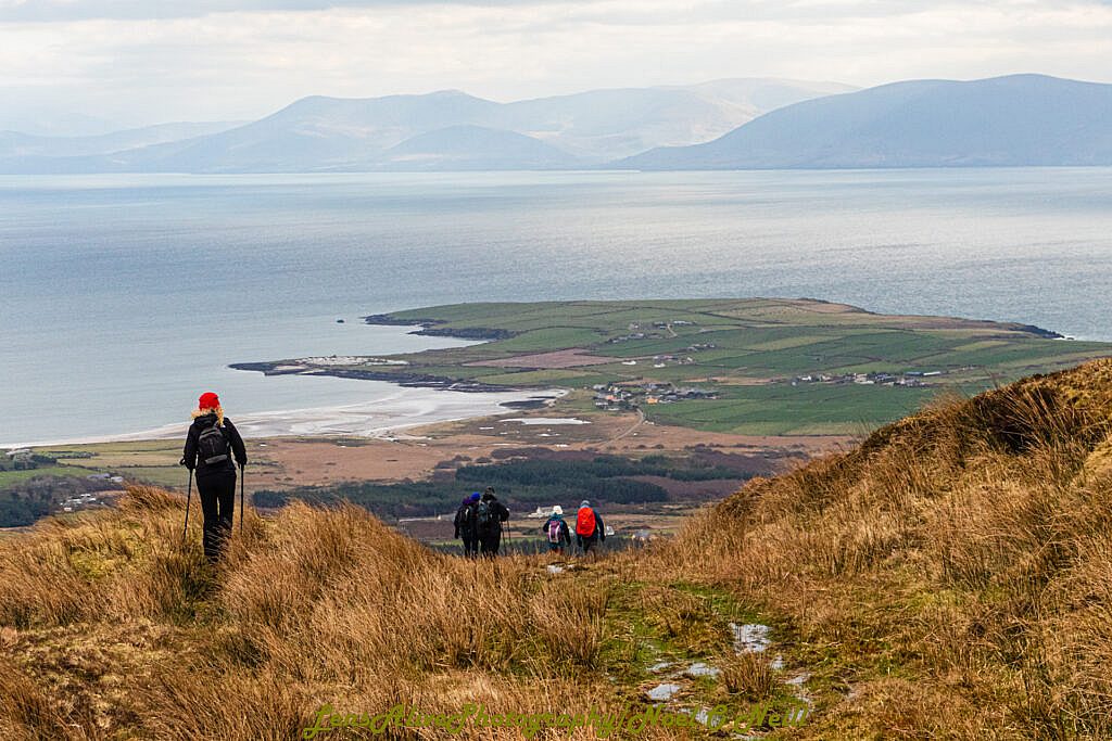
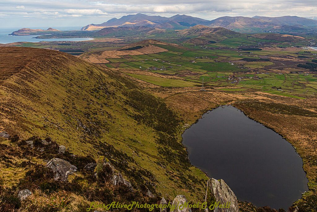
The walk starts in Baile an Chótaigh (Ballincota), Ventry, along narrow country lanes to Cill Dhoirche (Kildurrihy), where we make our way uphill along a well defined track to Loch Shliabh an Iolair (Mount Eagle Lake), a hidden corrie lake nestled below the summit.
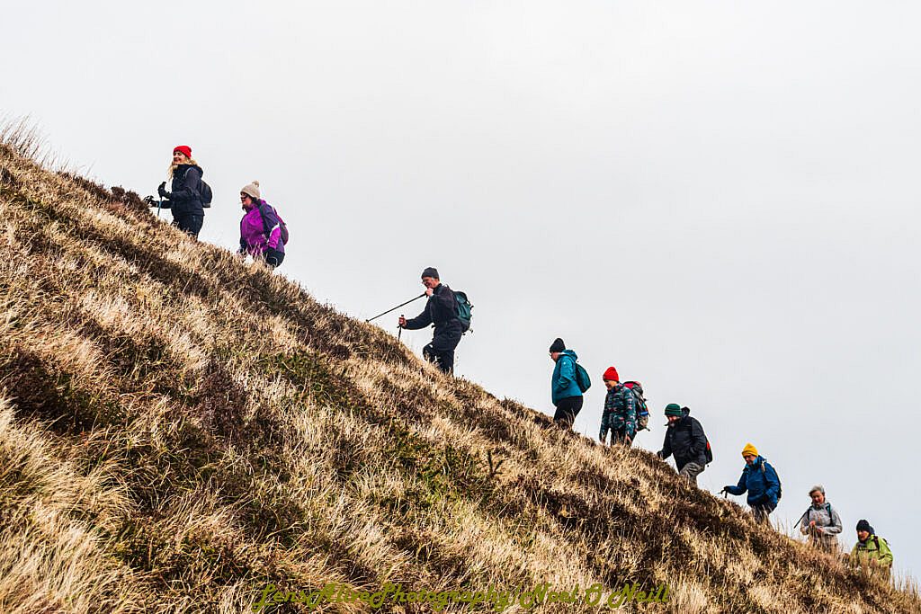
From here there is a short steep 100 m ascent up a zig zag track on the grassy slope to the col above the lake before making our way to the summit of Sliabh an Iolair at 516m which has panoramic views in all directions. Brandon Ridge to the East, The Three Sisters and Smerwick harbour to the North, the Blasket Islands to the West and the Reeks to the South.
We return by the same route but avoiding the grassy zig zag track above the lake.
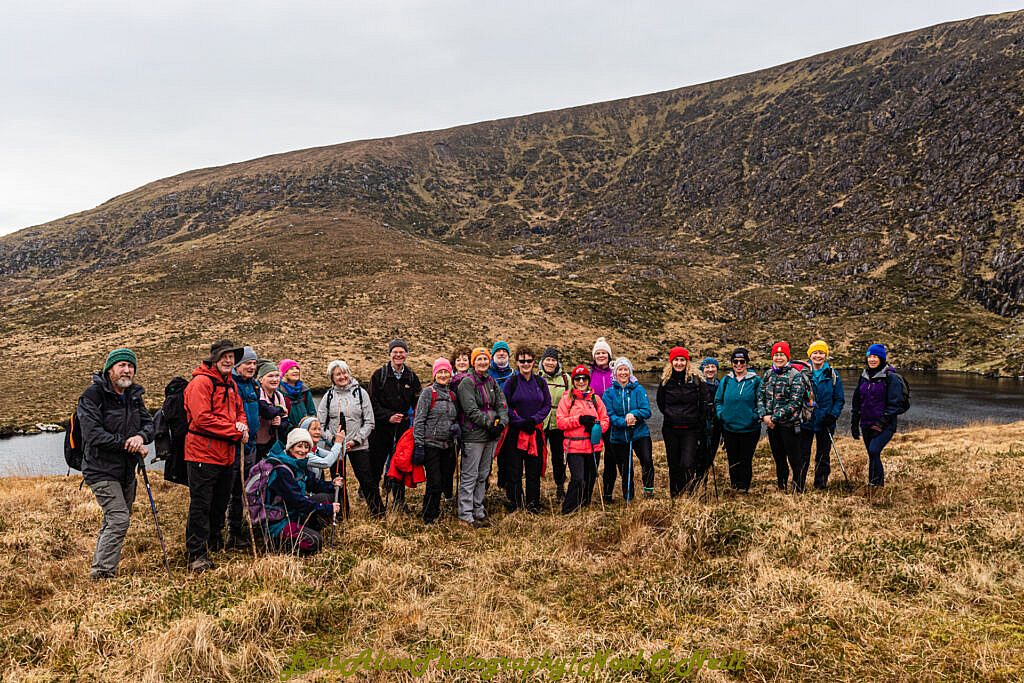
Photos