- Grade: B
- Length: 13.5km
- Duration: 5.5-6 hours
- Height gain: 800 m
- Extension Option@Grade
Start Point: Lay-by in Clydagh Valley @ O.S. Map 130 833
Meeting Point for car pooling: St Agatha’s Church, Glenflesk
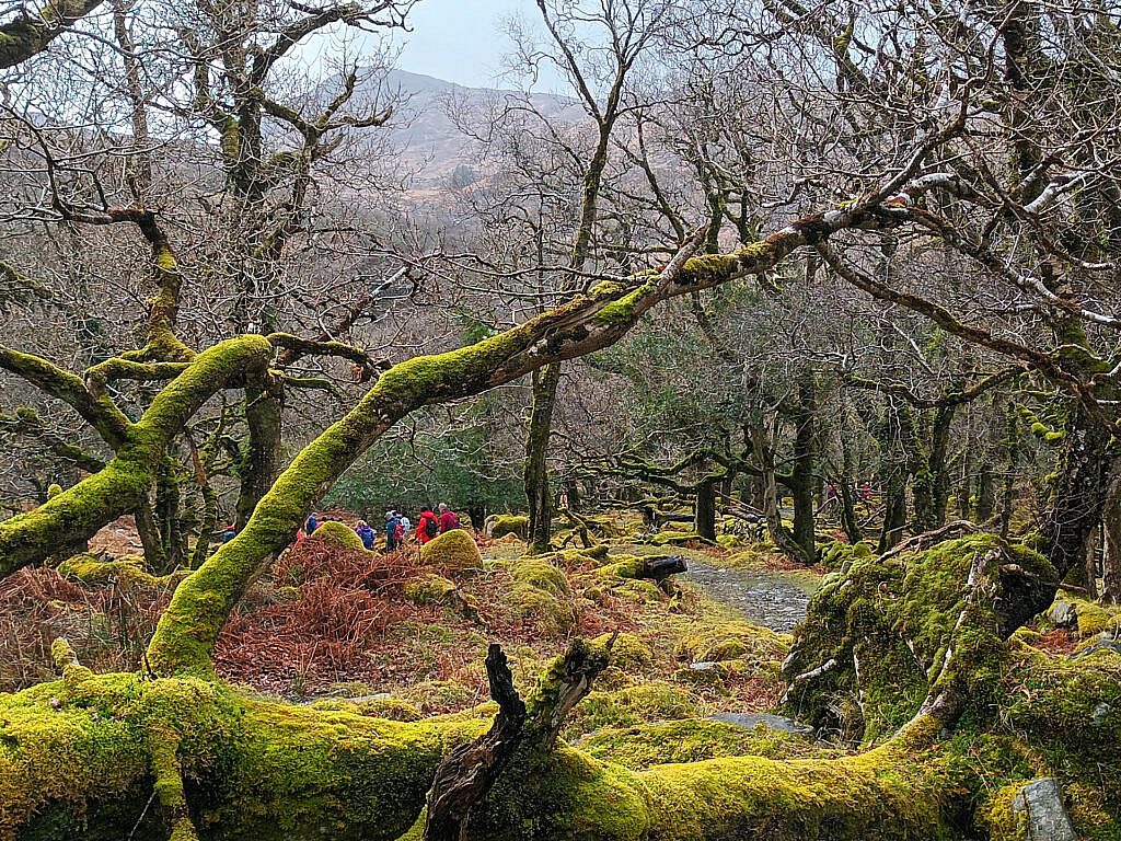
We begin the walk along minor road and tracks to Shrone Lake before following the Duhallow way for a short time. We then branch off to cross a river using stepping stones and emerge on to a track at Gortnagane.
We then make our way up a steep heathery slope to the summit of East Pap 694m which has an impressive cairn.
From East Pap we walk in a westerly direction to the col with West Pap where we follow a row of sharp rocks for a climb of 100m to the summit of West Pap 690m
Following the south spur we descend to Rodgers Rock 562m before accessing a forestry track which brings us back to our starting point
There is a shorter alternative route from the start point by using the descent route to West Pap, cross over to East Pap before retracing your steps to return which will take approx. 3 hours